90
Source: https://t.me/usinfantryman1/15820
Translation:
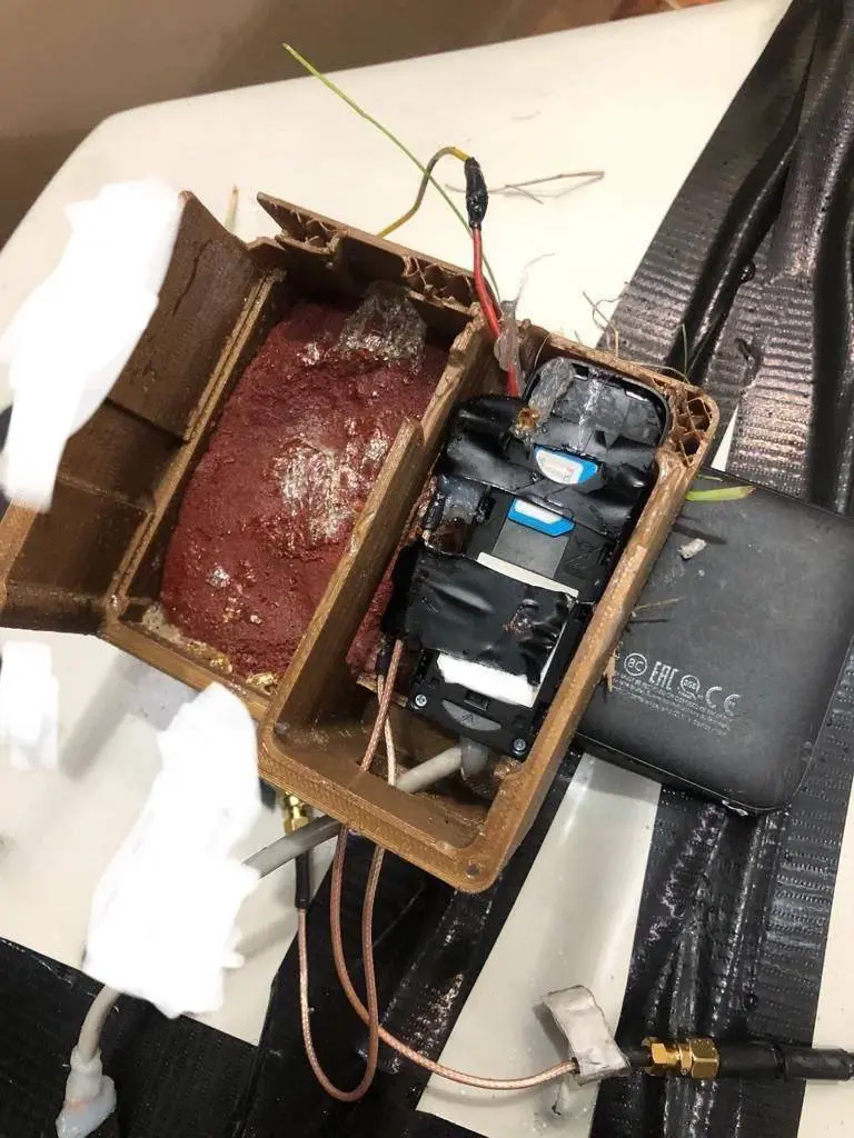
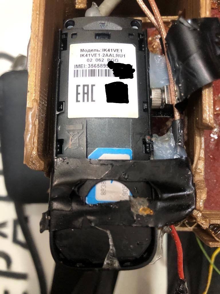
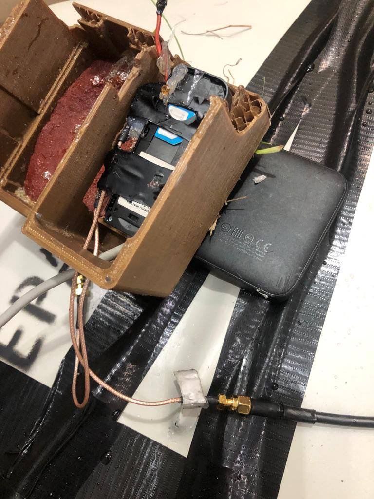
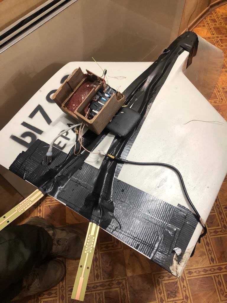
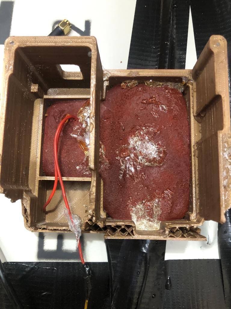
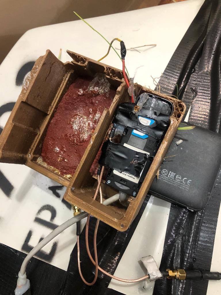
Importantly.
An ATM and a device with a Kyivstar SIM card were found inside the Podar Shahed.
That means they'll be able to use the cellular network to update the coordinates of this shit, plus maybe be able to change the flight task.
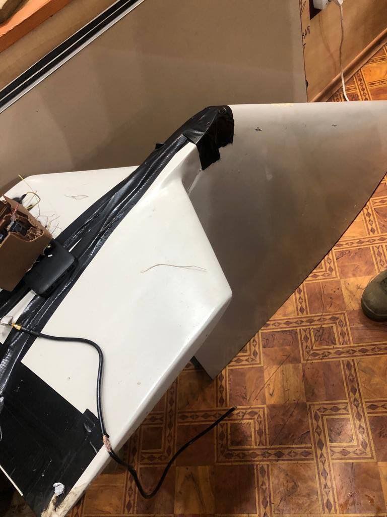
All this was located in a 3D printed element.
American infantryman