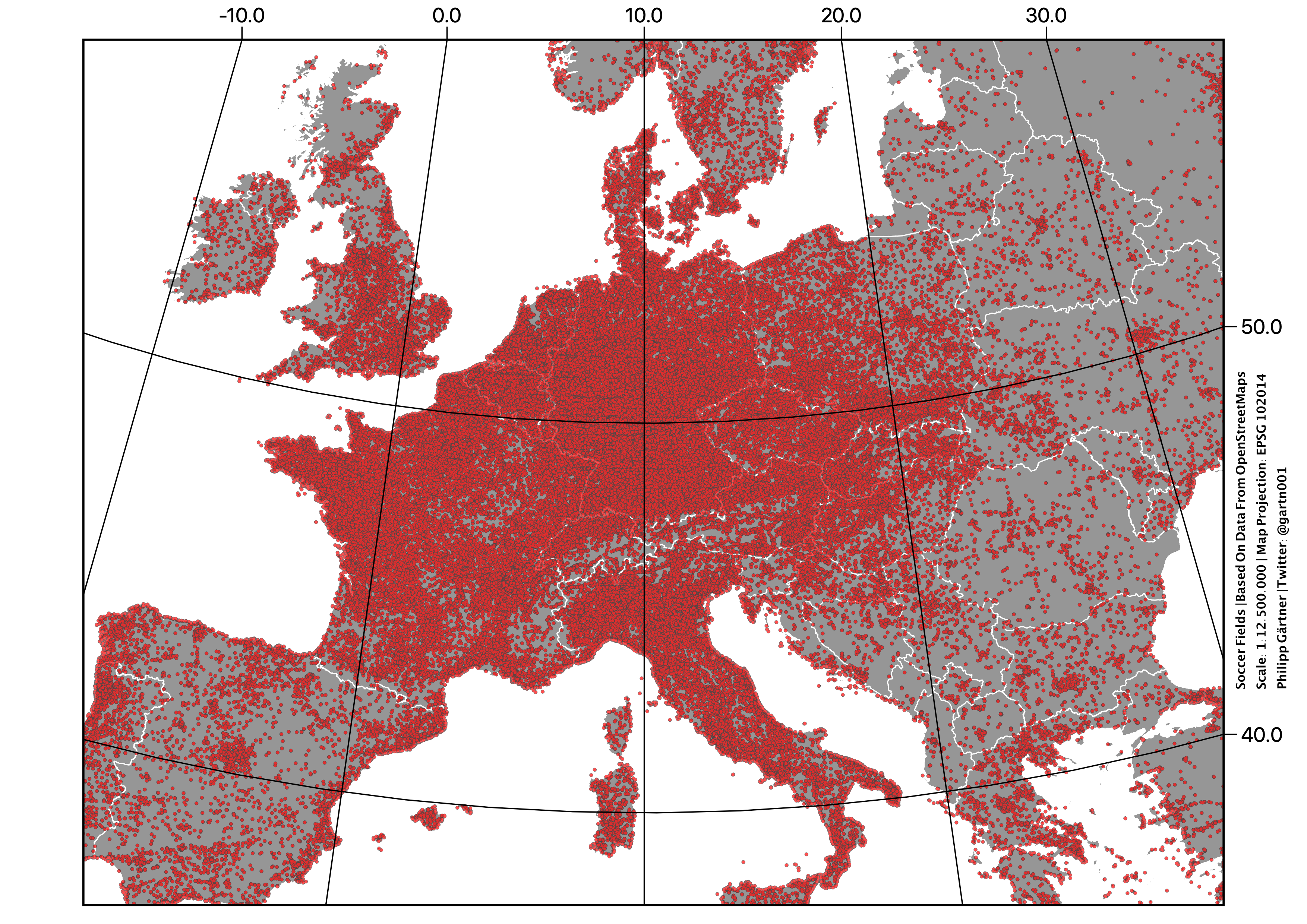
Football fields of continental Europe. This is blatant Nordic erasure and I will not stand for it!
Meaning I'm going to sit down because my legs are tired.
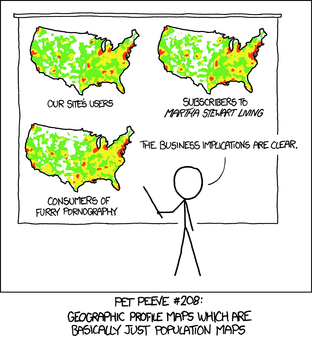
edit: also; isn't this effectively a population density map? Wonder how it'd look if this was done per capita (for eg the population administrative unit each field is in)


