Hello! I've just started using StreetComplete, and I want to make sure I understand the answers before I go through and make a bunch of garbage data.
In this picture, is the kerb a ramp, or flush?
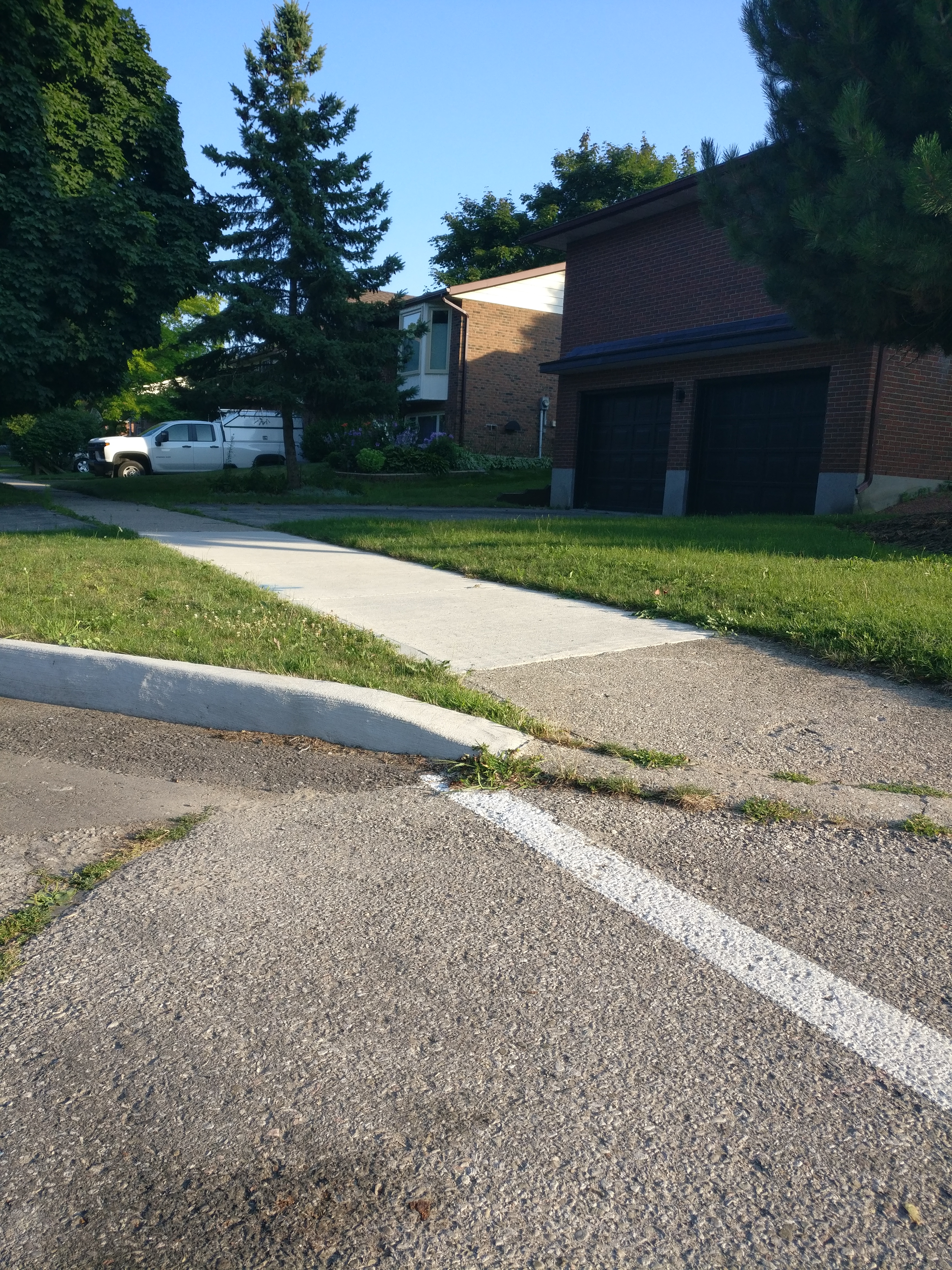
The sidewalk deflects downwards, but it's not a ramp ramp like the example picture.
How about this one?
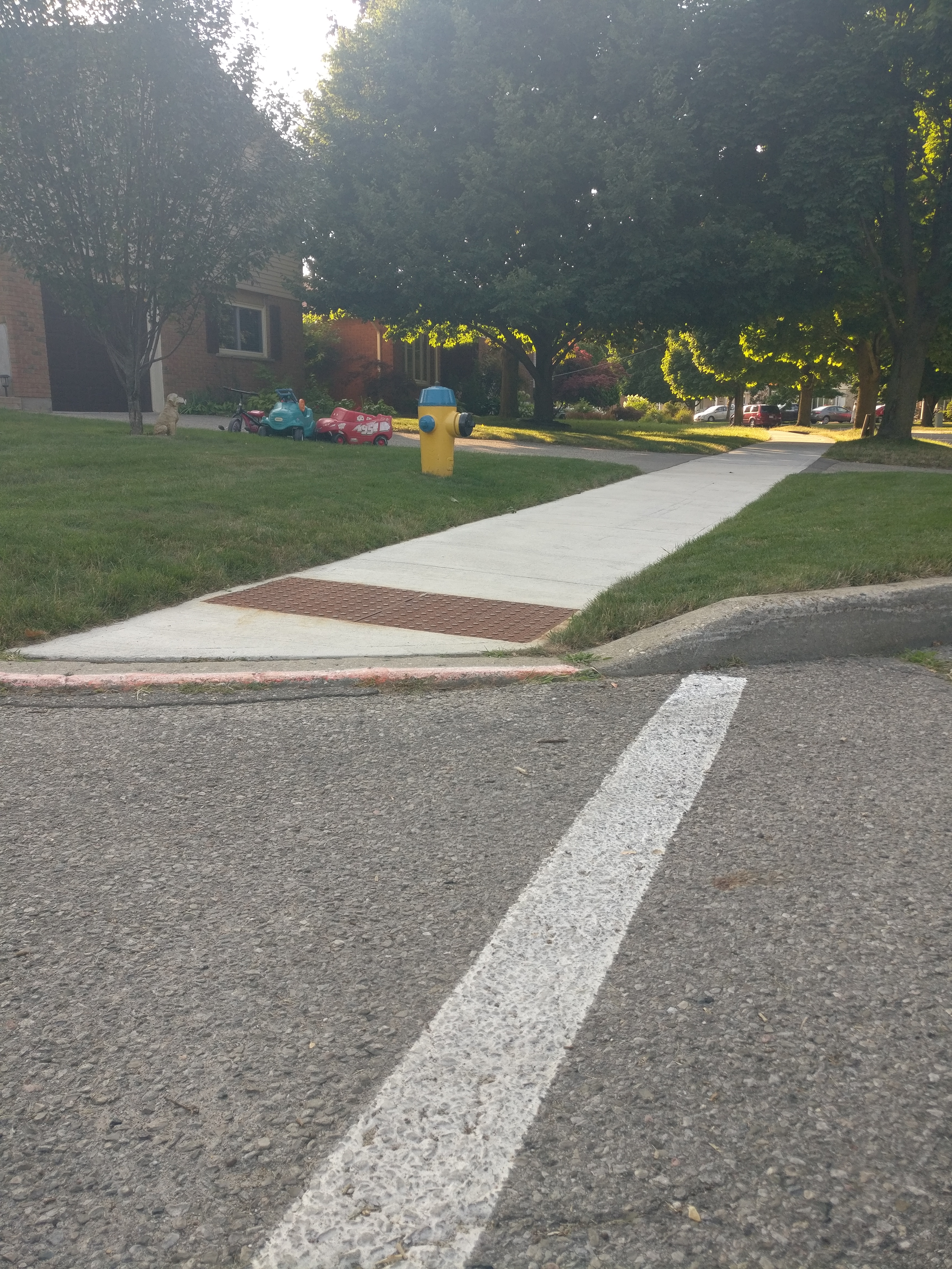
The kerb itself dips, but the sidewalk on this one looks more flat and does simply run into the road. And then it has the texture, obviously. Is this one different from the last one?
Also, just to check, I marked both of these sidewalks as "concrete". That's correct, right? I wondered about "concrete plate", because they're segmented, but the picture made concrete plate look much more substantial.
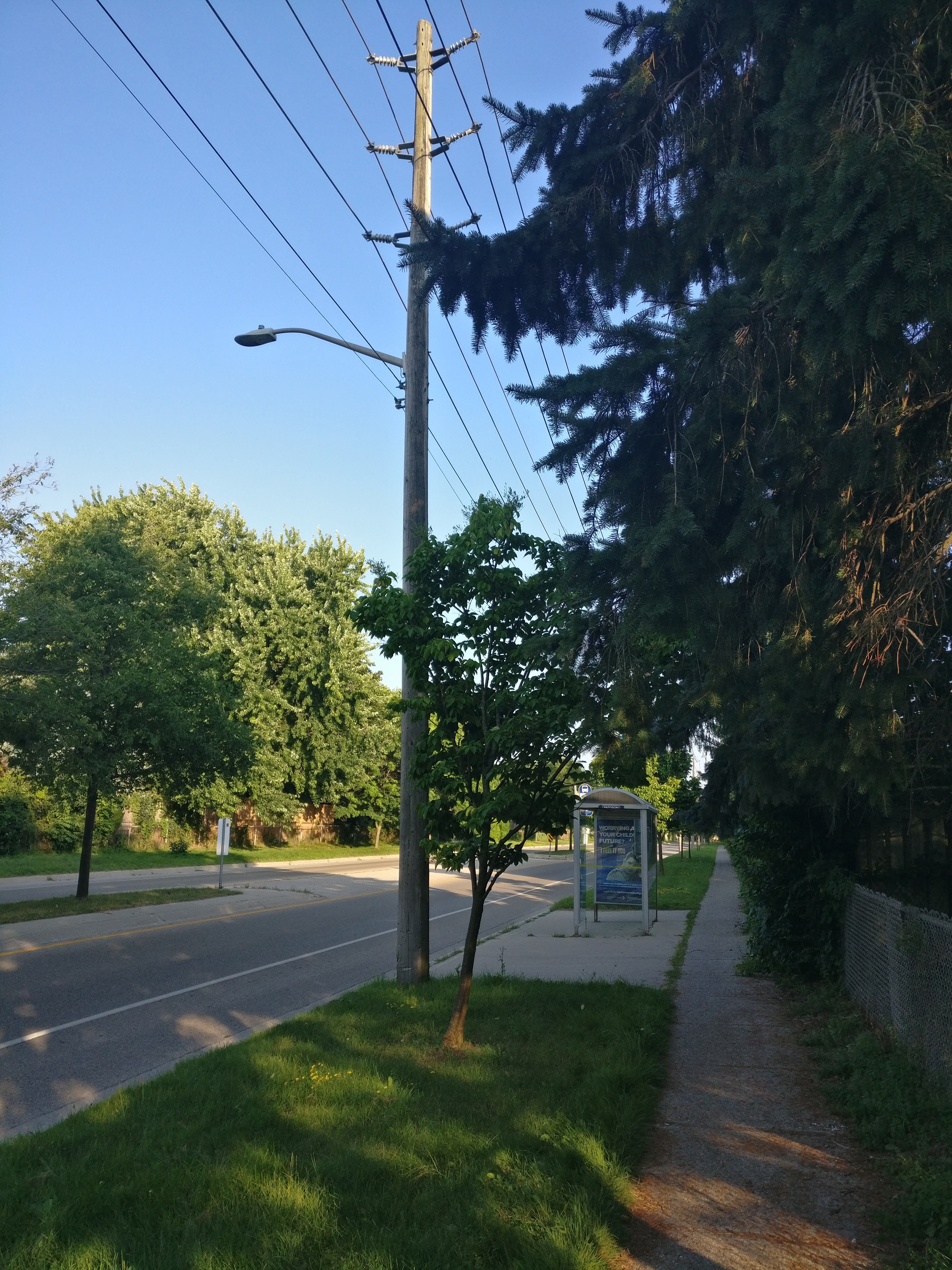
My other question was based on the "lit" tag for a bus stop. This bus stop has a street light near it, but there's no light on the bus stop itself. It sounds like that means it is lit? Would a non-lit stop just be one that is fully dark at night, then, with no kind of lighting anywhere near it at all?
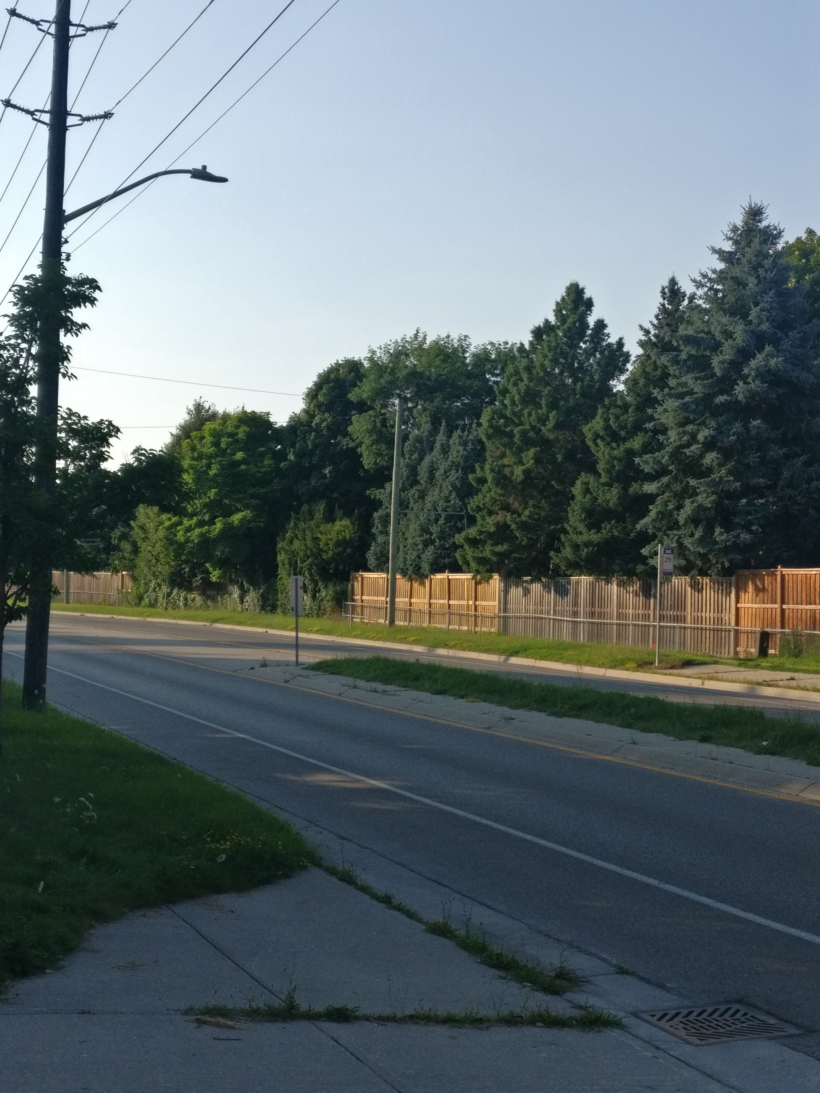
This one is further from the street light, but still has line of sight. Lit?
Thanks very much for any help you have!

There's an app I've never used but heard of: https://adresilo.com/
I think the way it works is that it queries Google's API for locations, proxies through them, but it can't show them on a map due to Terms of Service, but it can provide links that will then open in any map app of your choice.
The app is open source, but the DB is obviously Google. So it's trying to blur that line of providing Open Source functionality, and using Open Source maps, with the practicality of "Google has all the stuff" UX problem.
At least I think...